Videos
Videos for the geospatial community from all the wonderful content creators from all across the world. Here are all the videos that we recommend that you check out to expand your geospatial horizon.
Geoawesome Blog
Geo on YouTube
GeoAI: The new frontier of Financial intelligence | GIST Impact | AI & Geospatial Dialogue
Vineet Gupta and Anushriya Jain from GIST Impact show how GeoAI transforms finance by turning fragmented data into actionable intelligence. They explain how geospatial insights reveal real-world risks, from floods to biodiversity loss, enabling smarter, faster, and more resilient investment decisions.

How PLACE Builds Trust and Transparency in Geospatial Data | AI & Geospatial Dialogue Series
Denise McKenzie, Managing Partner at PLACE Trust, explains how ThisIsPlaceFoundation builds ethical, trustworthy, and globally inclusive geospatial data. She highlights responsible data practices, community engagement, and transparency frameworks that ensure data sovereignty and ethical AI use in underserved regions.
Trust in AI requires trust in data | Open Geospatial Consortium | AI & Geospatial Dialogue Series
Scott Simmons, Chief Standards Officer at the Open Geospatial Consortium, explains how the geospatial community can safeguard integrity, provenance, and trust in AI-driven analysis. He outlines why metadata, standards, and transparent data lineage matter, and shows how organizations like OGC, NASA, and NOAA are shaping a more reliable foundation for geospatial AI.
The role of GeoAI in Finance by Nataliya Tkachenko | AI & Geospatial Dialogue
Nataliya Tkachenko-Love from Lloyds Banking Group explores how geospatial analytics evolved from environmental science to a strategic tool in finance. She highlights how GeoAI supports ESG, risk management, and investment decisions, and discusses the role of trust, standards, and open-source innovation in shaping the future of geospatial intelligence in banking.
Tessera: Building a Global Open-Source Geospatial Foundation Model
Madeline Lisaius, a PhD researcher at the University of Cambridge, introduces Tessera, an open-source foundation model that integrates multispectral and radar satellite data into compact embeddings for a wide range of geospatial applications. She explains how Tessera was built, demonstrates its capabilities across diverse regions and tasks, and outlines how its open-source tools support large-scale geospatial AI research.
EO Foundation Models: How AI and Data Are Transforming Geospatial Intelligence | DevelopmentSEED
Daniel from DevelopmentSeed explains how Earth observation foundation models like Clay and Tessera are reshaping geospatial AI and climate analytics. He shows how these models use embeddings, spectral data, and large-scale satellite processing to connect imagery with real-world insights and expand access to geospatial intelligence.
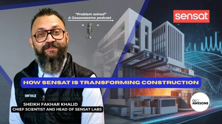
From Complexity to Clarity: Collapsing the Data-to-Decision Chasm Through Visual Twins
Muthu and Aleks talk with Sensat’s Khalid about closing the construction industry’s data-to-decision gap, showing how geospatial visualization, collaboration, and smart change management improve project outcomes.

Earth Observation for Enterprise: How do we speed up adoption? | Geoawesome Meetup #45
Leaders from UP42, White Shield, and AXA show how geospatial data, AI, and Earth observation are driving smarter decisions in policy, analytics, and insurance—from socioeconomic insights to climate risk prediction.
Building Maps Made Easy: The AI era of GoogleMapsPlatform is here | #geoai
Divya Dalapathi from Google Maps Platform talks about new AI-driven tools—Builder Agent, Maps Styling Agent, Grounding Lite, and Contextual View—that make map development faster and more intuitive.
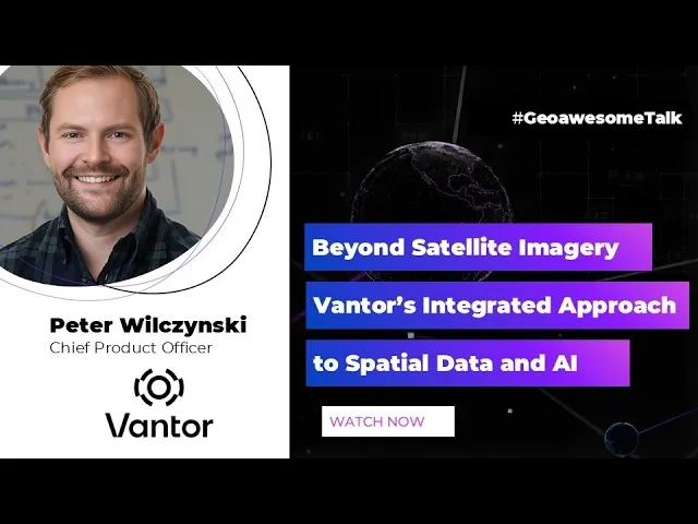
Why Maxar Became Vantor & A New Vision for Geospatial AI | Geoawesome Talk
We talk with Peter Wilczynski of Vantor about Maxar’s rebrand, the shift toward integrated spatial intelligence, and how TensorGlobe is set to unify multi-source geospatial data for both AI and analysts.
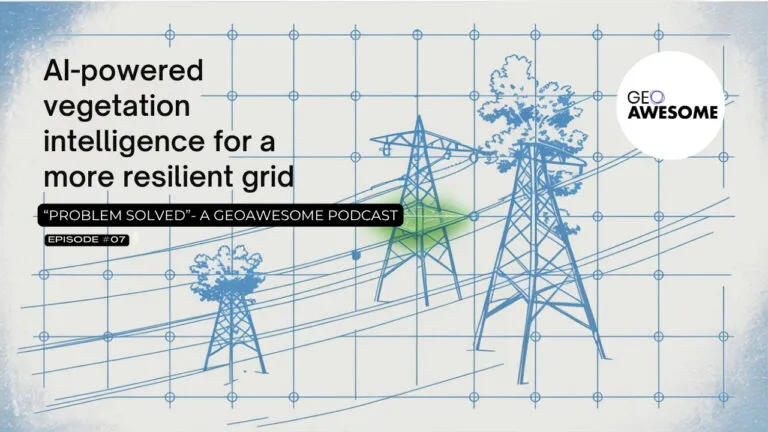
AI-powered vegetation intelligence for a more resilient grid | Problem Solved | Geoawesome
Wildfires, storms, and overgrown vegetation threaten the reliability of our power grids. In this episode of Problem Solved by Geoawesome, experts from Vantor, UP42, and Overstory discuss how AI-powered vegetation intelligence and satellite data are transforming grid resilience—helping utilities predict and prevent outages before they happen.
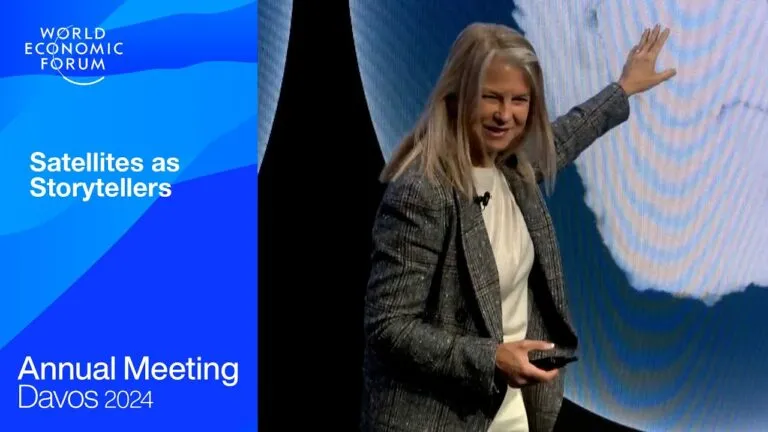
Satellites as Storytellers | Davos 2024 | World Economic Forum
From tracking poverty and forecasting extreme weather to monitoring water quality, Earth observation data is helping societies and industries better understand and protect our planet. This Davos 2024 session explores how satellite technology turns complex data into clear, local insights that empower smarter, more sustainable decisions.

The Adobe Extension That Delivers True Vector Maps
In this episode of Problem Solved, hosts Muthu and Aleks discuss the challenges of creating beautiful maps without a GIS background. They are joined by Magdalena Muhr, Managing Partner at @mapcreator-io who introduces their new Adobe extensions designed to streamline the map-making process for designers. The conversation covers the philosophy behind these tools, technical insights, user experience, and the business strategy of Mapcreator. The episode emphasizes the importance of saving time and reducing friction in the design workflow, while also addressing the evolving needs of the geospatial industry.

Sir Martin Sweeting and the rise of the small satellite industry
Space Minds at SmallSat: Mike Gruss talks with Prof. Sir Martin Sweeting on the rise of smallsats, industry growth, and key issues for 2025.
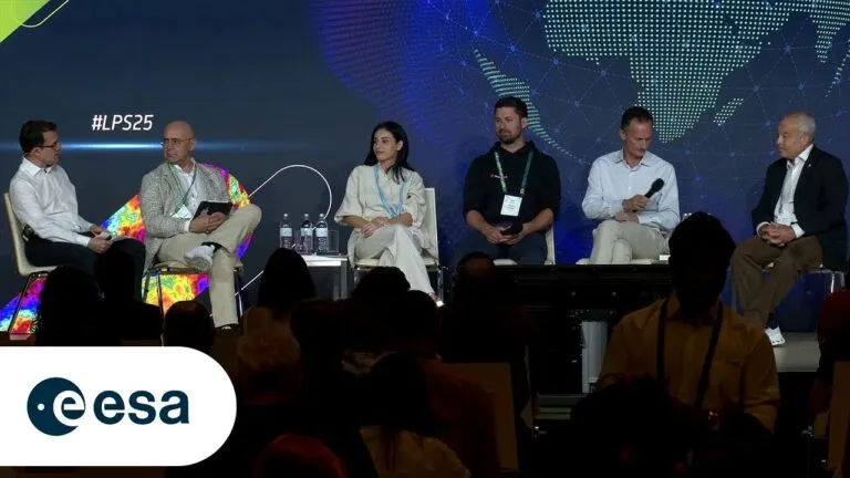
Living Planet Symposium 2025: Small satellite revolution in Earth observation
The Living Planet Symposium 2025 opened on 23 June in Vienna. A session on 26 June explored how advances in satellite tech and falling launch costs are transforming Earth observation. Key European industry leaders shared insights on emerging opportunities.
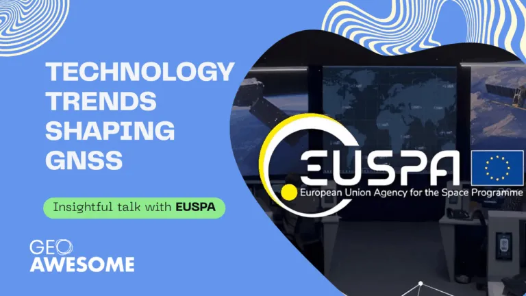
Technology Trends Shaping the Future of GNSS | Insights from EUSPA Experts
In this *Geoawesome* session, experts from EUSPA—including Justyna Redelkiewicz, Martin Šunkevič, and Florent Koné—break down key trends shaping GNSS. They explore multi-constellation systems, secure positioning, sensor fusion, and real-world applications in mobility, robotics, and agriculture. A must-watch for anyone in satellite navigation and PNT.
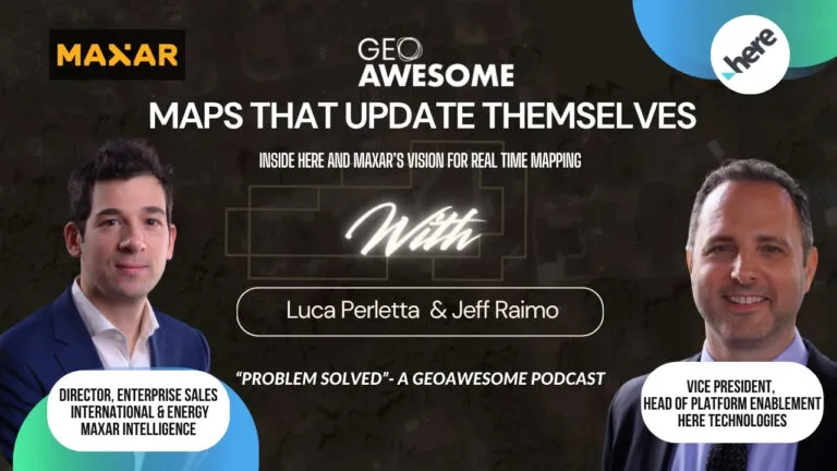
The Future of Maps: Combining Satellite Imagery, Sensors and AI for Real-Time Precision
In this episode of *Problem Solved*, Aleks and Muthu talk with Jeff Raimo (HERE) and Luca Perletta (Maxar) about the evolution of digital maps. They cover HERE’s 40-year journey, Maxar’s HD satellite imagery, and how AI is transforming mapmaking. Learn how satellite, sensor, and probe data are building the future of real-time, self-updating maps.
The Role of Digital Elevation Models in Mining Industry | Intermap | Geoawesome Meetup #40
In this "Geoawesome Meetup", Asuka Wachi from Synspective explains how SAR satellites support mining from exploration to closure. She shares real-world uses of radar for monitoring subsidence, tailings dams, and environmental impacts, highlighting how Synspective bridges space tech with on-the-ground challenges. Ideal for those focused on ESG, safety, and risk management.
Supporting Entire Mining Lifecycle with Synspective | Geoawesome Event #40
In this Geoawesome Meetup, Asuka Wachi from Synspective explains how SAR satellites support mining from exploration to closure. She shares real-world uses of radar for monitoring subsidence, tailings dams, and environmental impacts, highlighting how Synspective bridges space tech with on-the-ground challenges. Ideal for those focused on ESG, safety, and risk management.
How Airbus Constellation Support Mining Activities? | Geoawesome Meetup #40
In this Geoawesome Meetup episode, Elizabeth Langlois from Airbus Geospatial shares how Airbus’s satellite constellation supports the mining industry. She covers on-demand high-res EO data, practical uses of optical imagery and DEMs, and real-world mining applications—from exploration to post-closure. Great insights for anyone in mining, geospatial, or ESG.
Search