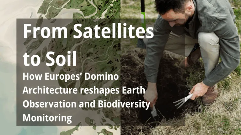
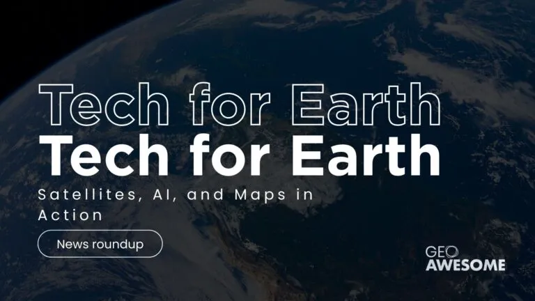
From Satellites to Soil: Europe’s Quiet Revolution in Measuring Nature’s Comeback
In a muddy riverbend in southwest England, researchers wade through a newly restored wetland, measuring how a meandering stream has begun to reclaim its ancient course. Hundreds of kilometres above, a…


Videos
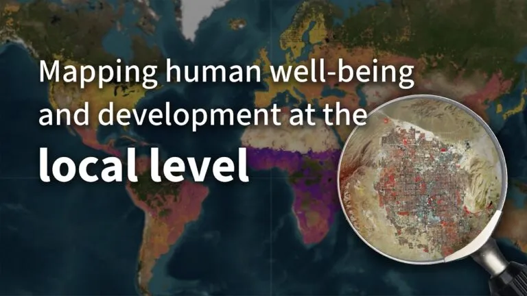
Mapping human well-being and development at the local level

GeoAI: The new frontier of Financial intelligence | GIST Impact | AI & Geospatial Dialogue

How PLACE Builds Trust and Transparency in Geospatial Data | AI & Geospatial Dialogue Series
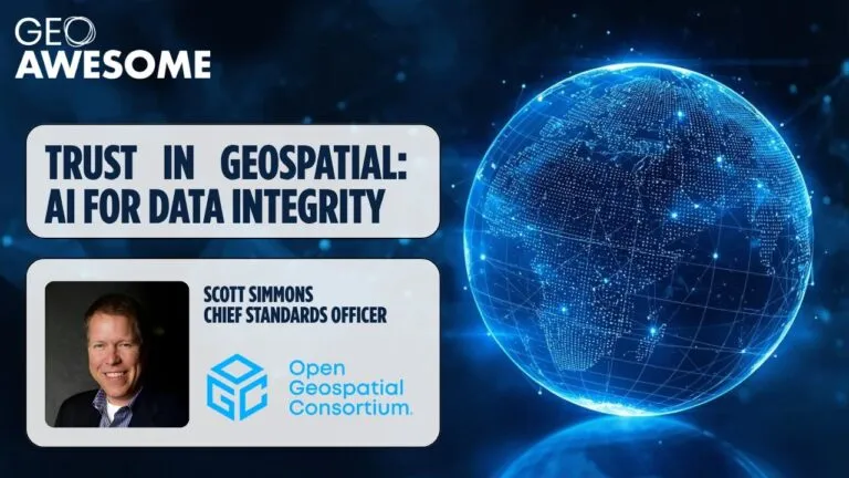
Trust in AI requires trust in data | Open Geospatial Consortium | AI & Geospatial Dialogue Series
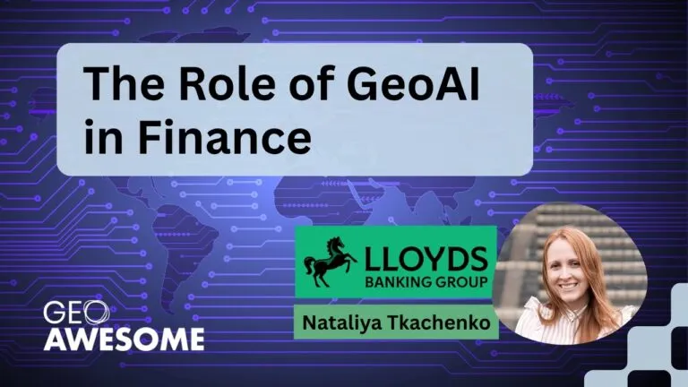
The role of GeoAI in Finance by Nataliya Tkachenko | AI & Geospatial Dialogue
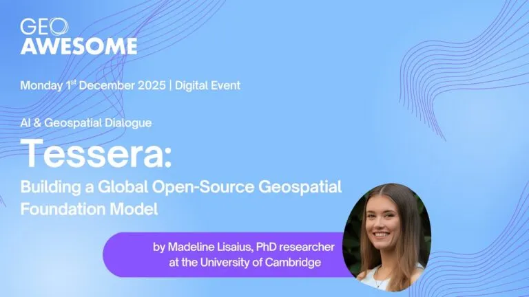
Tessera: Building a Global Open-Source Geospatial Foundation Model
The latest


Events
Podcasts
All PodcastsToday’s Featured


More Stories
Search